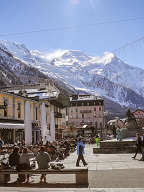
Bumper snowfall forecast for December!!
Although it's only August, we know from your e-mails that there lots of you getting excited about the winter already, so when we saw this weather prediction on Welove2ski.com, we had to share it with you. So what if he's known as a maverick, this is what we want to hear!!
Forgive us if we sound a little excited: but a long-range weather forecaster has just predicted heavy snow in the upper Alps at the start of winter.
The forecast comes from Piers Corbyn, founder of Weather Action, who is admittedly regarded as a maverick in meteorological circles. Nevertheless, his prediction will be hard for skiers to ignore.
Corbyn's forecast is based on simple premise - that the unusual behaviour of the jet stream over north-western Europe is going to continue until the end of the year, bringing more of the wet weather that's ruined our summer.
"The jet stream has a fundamental impact on our weather," says Corbyn, "and this year it's been making much larger southerly excursions than normal. As a result, it's been dragging low pressure over England and western Europe instead of along the usual track between Scotland and Iceland. We think this will continue until well into December, and bring heavy snow at higher altitudes in the Alps."
Corbyn isn't the only meteorologist talking about the jet stream in 2007. It's been widely acknowledged the current southerly shift in its track is the cause of this summer's flooding. What is unusual, however, is the certainty with which Corbyn is prepared to predict its future. This is because he believes its movement is governed by solar activity, and the magnetic links between earth and sun - an unorthodox approach, and one which allows for the kind of long-range forecasting most meteorologists avoid like the plague. However, it's worth noting that in December 2006, he predicted an unusually cool and wet summer for England.
By contrast, the Met Office is far more guarded about the coming months. "It's too early to say what the jet stream, or indeed the wider weather, is going to do," says Met Office weatherman Barry Grommett. "The currrent pattern of weather does seem to be fairly well established, but it could be disrupted - say, for example, by a tropical storm tracking north and disrupting the atmospheric balance across the North Atlantic."
The first official Met Office forecast for the coming winter in Europe will be published on September 27.